
Dr. Cassidy J. Rankine
Remote Sensing Scientist, GIS Analyst, and Commercial Geospatial Application Specialist
With over 15 years of background in academic, commercial and industrial scientific research on designing and deploying cutting edge remote sensing technology solutions for landscape mapping, modelling, natural or built resource detection and attribution for asset management, we help you find the most cost effective way to measure what matters to you and your business needs.
From satellite to ground sensing systems, from drones to depth sensors, we have experience in finding the right tools to get the information you need for managing your assets, finding new resources, or bringing new value to your customers through remote sensing data and spatial analytics.
Science, technology, and business together
Business development
Developing business for remote sensing technologies since 2010, helping governments and large enterprises understand and adopt Earth observation solutions that bring real, tangible cost, time, or risk reduction benefits at scale.
A track record of creating and expanding multi-million dollar remote sensing business programs with state or nation wide impact, from climate driven agri-risk and food security to enhanced forest inventory and carbon accounting.
Applied remote sensing
15 years of experience in satellite, airborne, and ground based remote sensing, with a strong understanding of radiometry and spectroscopy, applied to product and business solution development.
Data science & GeoAI
Advanced statistics and data management in R and Python, with a recent focus on leveraging AI capabilities for data science and remote sensing modelling.
GIS
Primary GIS expertise in raster analysis for feature classification, extraction and vectorization using multispectral and hyperspectral data.
Sensor networks & IoT
Working with digital sensor systems for wireless and remote environmental monitoring before the Internet of Things had a name, including long-lasting systems for extreme environments around the planet.
Satellite systems
Hands-on experience across public and commercial missions.
Articles on LinkedIn
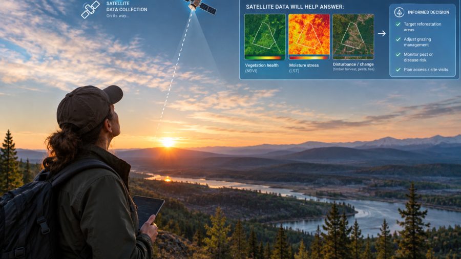 September 2026
Why Dense Satellite Time Series Deliver More Trustworthy Insight
How often you report on something and how often you observe it are separate questions. Why a single image is a guess, and what low-frequency data really costs.
Read on LinkedIn →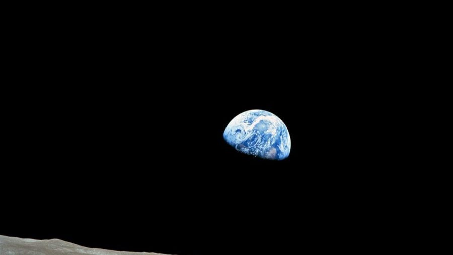 September 2025
Earthlight: A Reflection
The light our planet reflects into space carries its fingerprint. Reflections on Earthlight, and why it matters to an Earth system scientist and futurist.
Read on LinkedIn → March 2025
Mitigating Global Polycrisis Risks Through High-Cadence Earth Observation
Why a world facing overlapping crises needs deeply integrated, satellite-driven geointelligence to build a sustainable and equitable future.
Read on LinkedIn →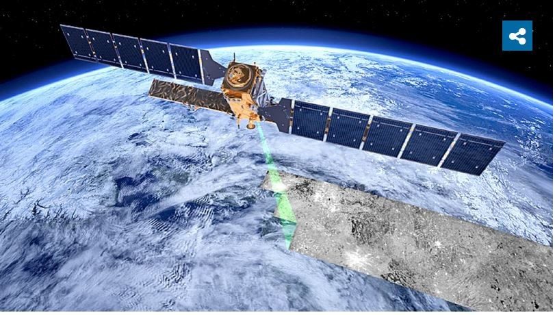 February 2023
Why is Space-Based Decision Making so Hard to Do?
What drives uncertainty in satellite spectral imaging, and why high revisit rates are key to confident, high-value decisions.
Read on LinkedIn →Based in Western Canada, working worldwide
Vancouver, Kelowna, Calgary, Edmonton, Canada