Strategic advisory

Clear guidance for the new space economy

Earth observation is changing faster than at any point in its history. We help leaders understand what is real, what is hype, and how to turn orbital data and AI into tangible cost, time, and risk reduction at scale.

01

The state of the commercial Earth observation sector

A market that once relied on a handful of government missions now has dozens of commercial constellations. Data is abundant, but certainty is not.

Daily-revisit optical fleets, very high resolution imagers, commercial SAR, hyperspectral, thermal and RF sensing are all now available to purchase. Providers are shifting from selling pixels to selling subscriptions, analysis-ready data and answers, while consolidation, defence demand and government anchor contracts reshape who will still be around in five years.

For buyers, that creates real questions. Which constellation actually fits your accuracy and revisit needs? How do pricing, licensing and tasking compare? Can data from different sensors be trusted side by side? For EO companies, the question is how to translate impressive capability into products customers will pay for.
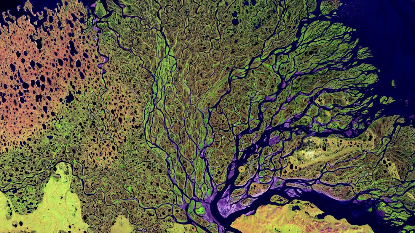
False colour satellite image of a river delta

What we help with

  • Market and provider landscape briefings
  • Sensor and vendor selection, benchmarking and RFP support
  • Pricing, licensing and procurement strategy

For EO companies

  • Downstream market and use-case validation
  • Product-market fit and go-to-market strategy
  • Building enterprise and government programs

For investors and partners

  • Technical and commercial due diligence
  • Constellation capability and data quality reviews
  • Competitive positioning assessments
Earth observation satellite above the night side of Earth
02

Space 2.0 and the new space economy

Reusable launch, rideshare missions and mass-produced small satellites have dramatically lowered the cost of getting sensors into orbit.

The result is a new space economy where commercial players move at startup speed. Satellites are now launched by the hundred, ground stations and processing are offered as a service, and analytics increasingly happen in the cloud or even on board the spacecraft. Space is no longer only for space agencies; it is an input for agriculture, forestry, energy, insurance, infrastructure, finance and public safety.

Canada brings deep heritage in radar Earth observation and a growing commercial space ecosystem. Knowing how to plug into it, and where the real value sits between upstream hardware and downstream applications, is a strategic advantage.

Strategy for space data users

  • Where space-based data fits in your operations
  • Build, buy or partner decisions
  • Roadmaps from pilot to enterprise program

Mission and product concepts

  • Turning user needs into sensor and revisit requirements
  • Payload and mission concept feasibility reviews
  • Value chain and business model design

Ecosystem navigation

  • Partner and supplier identification
  • Public program and funding landscape awareness
  • Executive education on the new space economy
03

Accelerating GeoAI capabilities

AI is transforming how we extract information from imagery, but most organizations are stuck between an exciting pilot and an operational system.

Geospatial foundation models, computer vision and automated change detection now make it possible to monitor entire countries continuously, and conversational AI is beginning to put spatial answers in the hands of non-specialists. Yet getting value from GeoAI still depends on the fundamentals: radiometrically consistent data, good training labels, rigorous accuracy assessment, and a clear understanding of uncertainty.

An AI model is only as trustworthy as the physics and validation behind it. We pair remote sensing science with modern AI so your models hold up in the real world, not just the demo.

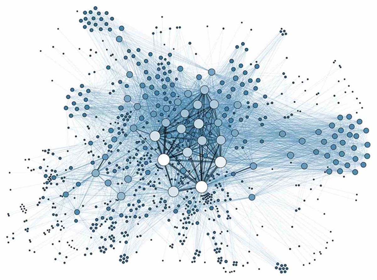
Network graph representing machine learning connections

Assess and prioritize

  • GeoAI readiness assessments
  • Use-case prioritization by value and feasibility
  • Build, buy or partner evaluations of AI platforms

Prove it works

  • Low-cost proofs of concept
  • Model evaluation, accuracy and uncertainty assessment
  • Training data and labelling strategy

Scale with confidence

  • Analysis-ready, cloud-native data pipelines
  • Operational monitoring and model maintenance
  • Team upskilling and executive workshops
How we engage

Flexible ways to work together

Every engagement starts with understanding your problem. From there, choose the depth of support that fits.

Executive briefings

Focused sessions for leadership teams and boards on the EO market, Space 2.0, or GeoAI, tailored to your sector and decisions.

Landscape & due diligence

Independent assessments of providers, technologies, and companies, with clear findings and recommendations you can act on.

Strategy & roadmaps

A practical plan from first pilot to scaled program, including data, analytics, team, budget, and return on investment.

Proof of concept

A low-cost feasibility test for novel applications before you commit to full development.

Retained advisor

Ongoing, part-time access to senior remote sensing and EO business expertise as your program grows.

Workshops & training

Hands-on sessions that help your technical and business teams speak the same language about space data and AI.

Planning your next move in Earth observation?

Start with a free 30 minute introductory consultation. No obligations, just a clear conversation about where you are and where you want to go.

Book a free consultation